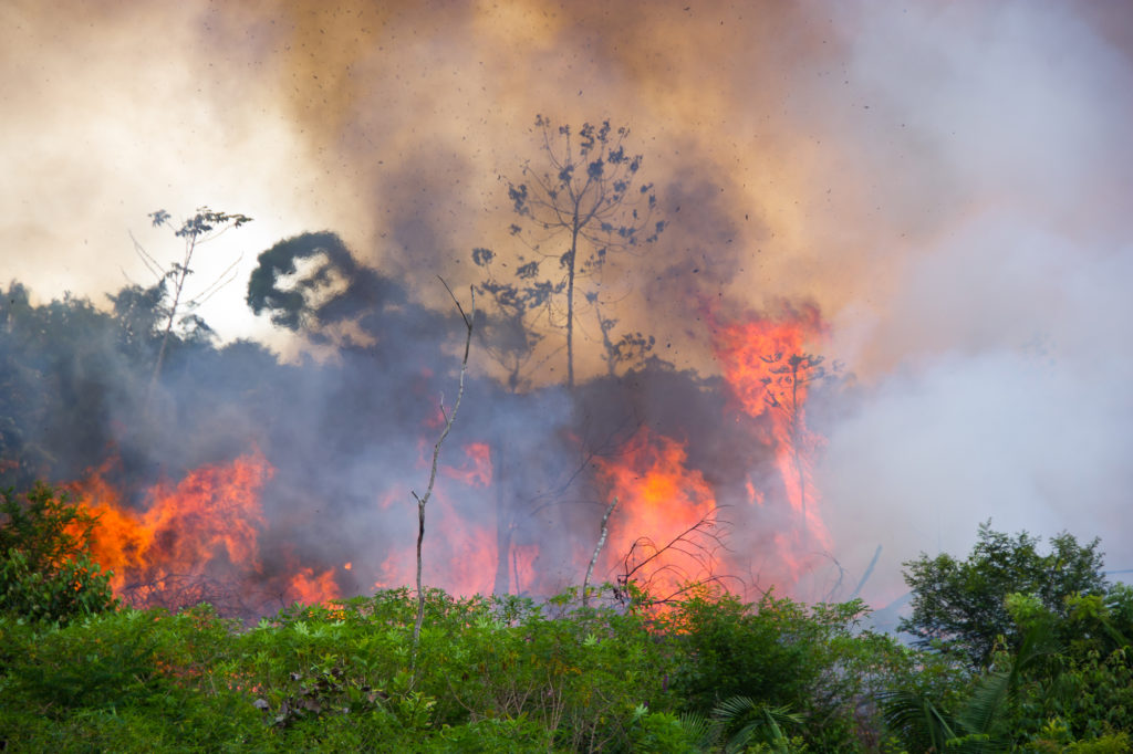
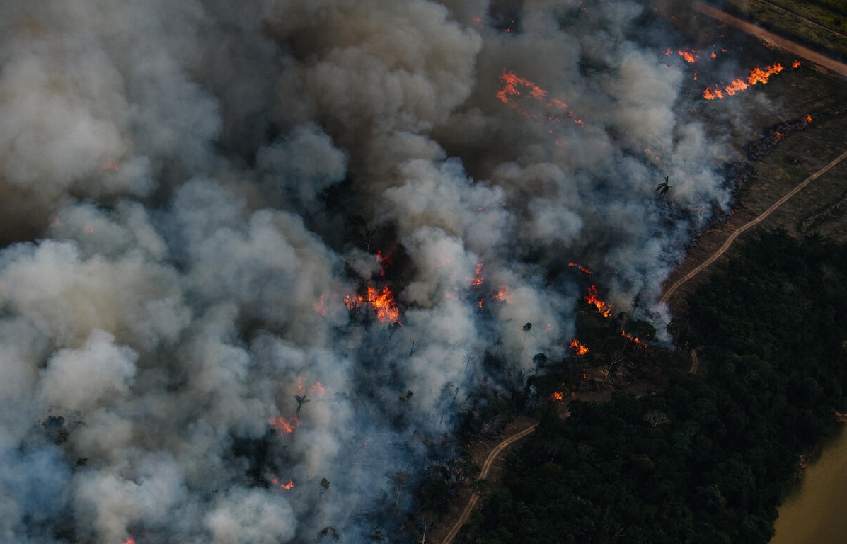
São Paulo, Brazil – Nearly 200 million hectares (about 492 million acres) of land has burned at least once in Brazil between 1985 and 2023, meaning nearly a quarter (23%) of Brazil’s territory was set ablaze in the past four decades.
The fires occurred overwhelmingly on lands with native vegetation (68.4%), while fires occurring on pastures and agricultural lands occurred about 31.6% of the time.
The data come from a new study performed by MapBiomas Fogo, a network that includes universities, NGOs, and tech companies that map the extent of burned areas in the country.
According to the study, the Cerrado and Amazon, two of Brazil’s largest biomes, have been the areas most affected by fires. Together, they accounted for about 86% of total burned area.
In the Cerrado, a tropical savanna in Eastern Brazil, 88.5 million hectares (about 219 million acres) have burned in the last four decades, while the Amazon rainforest had 82.7 million hectares (about 204 million acres) scorched during that period.
Although the Cerrado and Amazon have experienced similar amounts of hectarage burned, the biomes differ vastly in size. The Cerrado had about 44% of its territory burned while fires occurred in about 19.6% of Amazon territory, according to the study.
“The Cerrado has suffered from high deforestation rates, resulting in increased fires and the risk of uncontrolled wildfires,” said Vera Arruda, coordinator of MapBiomas Fogo. “These negatively impact ecological balance because, although fire is a natural component of the Cerrado, it’s occurring with a frequency and intensity that the vegetation cannot withstand.”
Because its vegetation is not adapted to fires, the Amazon region poses a risk for burning, “worsening the level of environmental degradation and threatening local biodiversity, while historic drought and insufficient rainfall to replenish the water table intensify the region’s vulnerability,” said Ane Alencar, coordinator at MapBiomas.
The characteristics of the fires are also different in the two biomes. In the Amazon, the study says, fire is mainly caused by deforestation and agricultural practices. “As it is a biome extremely sensitive to fire, the result is a significant loss of biodiversity,” said MapBiomas.
The Cerrado, on the other hand, is a biome more adapted to fire, as it depends on natural and controlled burns to maintain its ecosystem. However, the numbers show that the Cerrado has faced changes in its natural fire cycle due to the expansion of agriculture and improper use of fire.
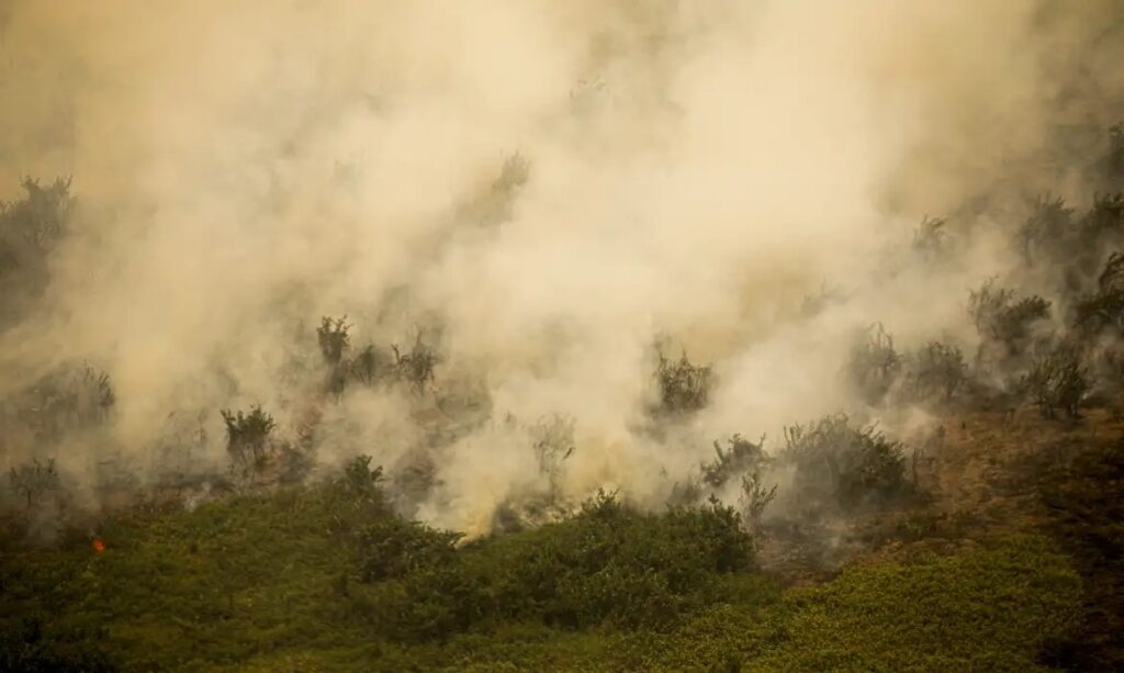
Regarding other Brazilian biomes, the Atlantic Forest had 6.8% of its territory affected by fires, the Pantanal had 59.2%, the Caatinga 12.7%, and the Pampa 2.7%. According to MapBiomas, each year, an average of 18.3 million hectares (about 45 million acres), or 2.2% of the country, are burned. The driest season, from July to October, accounts for 79% of the burn cases.
“The data shows clear historical patterns about what, when, and how much burns in Brazil every year, allowing the authorities to understand trends, identify high-risk areas, and establish more coordinated and efficient actions to combat fires,” the study read.
Human action
Through satellite imaging, researchers from MapBiomas analyze the size and historical pattern of burned areas, but it is not so precise that it can pinpoint what started fires for certain.
Despite this, Alencar said that, based on the characteristics, it can be concluded that most fires did not have a natural origin but were caused by human action.
“We can infer that the vast majority of fires are caused or initiated by human activity,” Alencar told Agência Brasil.
According to her, most fires occur between August and September, “a dry period when it is difficult for storm lightning to occur,” which could cause natural fires.
