
São Paulo, Brazil – Brazil recorded a sharp 32.4% decrease in deforestation across its biomes in 2024 compared to the previous year, according to a report released Thursday by MapBiomas, a collaborative network made up of NGOs, public universities, and technology companies. It was the second consecutive year of decline since 2019, when the group began regularly publishing deforestation alerts.
The reduction in native vegetation loss was recorded in five of the country’s six biomes: the Amazon (-16.8%), Cerrado (-41.2%), Caatinga (-13.4%), Pantanal (-58.6%), and Pampa (-42.1%). In the Atlantic Forest, however, researchers observed a slight increase of 2% between 2023 and 2024.
Despite the encouraging results, Brazil still lost a total of 1,242,079 hectares (around 3,069,244 acres) of native vegetation last year. Over the six years of the project, MapBiomas estimates that cumulative deforestation across the country has reached 9,880,551 hectares (24,415,373 acres) — an area roughly the size of South Korea.
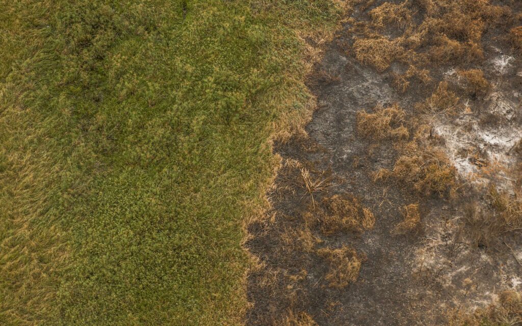
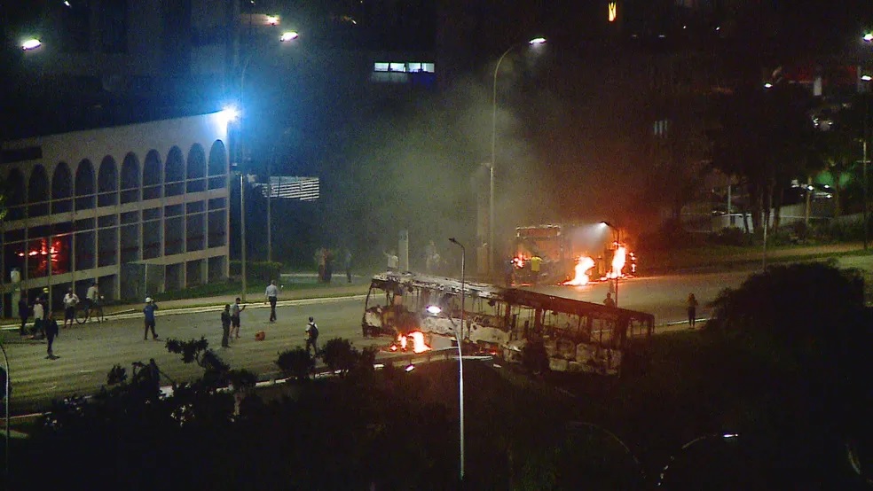
(photo: Marcelo Camargo/via Agência Brasil)
The Amazon and Cerrado together account for 82.9% of that total. According to the report, agribusiness is the main driver of deforestation, responsible for 97% of native vegetation loss in recent years.
The state of Maranhão, in northeastern Brazil, topped the deforestation ranking in 2024, with 218,298 hectares (539,426 acres) lost. Even so, the state saw a 34.3% reduction in its deforestation rate compared to 2023. Goiás, in the country’s Center-West region, recorded the greatest improvement, with a 71.9% reduction in native vegetation loss year over year.
In two-thirds of Brazil’s Indigenous Lands, MapBiomas researchers found no deforestation events. In the remaining 33%, at least one deforestation alert was issued. In total, 15,938 hectares (39,384 acres) of native vegetation were lost in Indigenous territories nationwide – representing a 24% decrease between 2023 and 2024.
The MapBiomas report is based on consolidated data from several deforestation monitoring systems in Brazil, including DETER, operated by the National Institute for Space Research (INPE), and the Deforestation Alert Systems (SADs) run by Imazon and SOS Mata Atlântica–ArcPlan. Analysts use alerts from these systems to generate reports featuring high-resolution satellite images that reveal before-and-after views of deforested areas.
The project does not explain the reasons behind the observed results, but aims to support both private and governmental institutions in reducing deforestation in Brazil and promoting actions for conservation and the sustainable use of land.
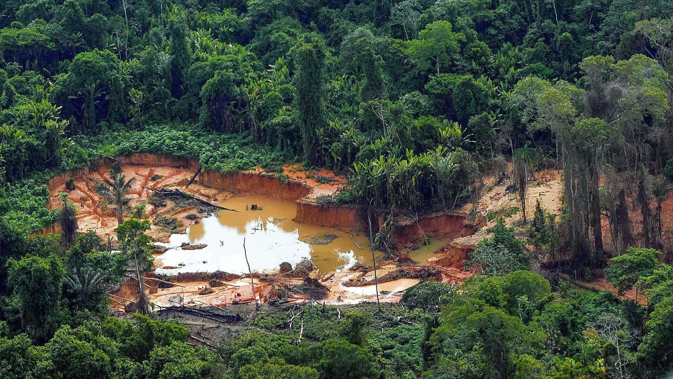
Featured image: Deforested area by illegal mining in Roraima state (photo credit: Leo Otero/Ministry of Indigenous Peoples via Agência Brasil)